Economic Development Minister Simon Bridges and Primary Industries Minister Nathan Guy have announced government funding of up to $800,000 for 3-D aerial mapping of Northland.
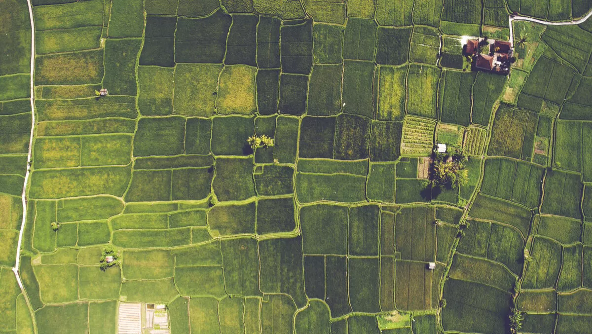
LiDAR, which stands for Light Detection and Ranging, is a remote sensing tool which uses laser pulses to generate large amounts of highly accurate geographical terrain data. The aerial images it collects will provide the region with highly accurate geographical data to make better business decisions.
“This will be the most comprehensive LIDAR exercise ever undertaken in New Zealand and the high quality mapping data produced will provide a blueprint of the whole region,” says Bridges.
“It will produce data that is ten times more accurate than what is currently used, and can have a wide range of uses from forest inventory, floodplain mapping, urban planning and coastal engineering to its use for the design of powerlines, roads, railways, mines, farms and land developments.
Bridges says this is part of Northland's joint Economic Action Plan with the Government which contains projects identified as being key to supporting economic growth.
Guy explains the data will provide authorities with more confidence to progress infrastructure projects and deliver better, more cost-effective planning and a better understanding and ability to plan for sustainable land management.
“The data can be used by forestry companies to help plan their logging operations, horticulture companies for sustainable land management and by public and private operators to plan pest control,” adds Guy.
“On the farm, it can be used for creating topographic maps of fields and for crop mapping in vineyards and orchards. It will be a valuable tool for decision-makers to use in working out how to get the best use of their land.
“LiDAR also helps with detailed hazard planning and preparation by identifying any changes to land formations, water courses and physical structures after a natural event.
Guys says that after the Kaikoura earthquake, LiDAR was used to show how far the impact extended out to sea.
Funding for the Northland LiDAR project comes from the government's Regional Growth Programme, co-led by the Ministry for Primary Industries and the Ministry for Business, Innovation and Employment.
Land Information New Zealand has also contributed funds, and the government's funding has been collectively matched by the four Northland councils.
LiDAR surveying is expected to start within the coming months and be completed in 2018. A Cessna twin engine aeroplane, modified for LiDAR surveying, will be used.